Echolocation – The Flightpath of Starbeard 3.
Commissioned in conjunction with ONCA Gallery and Sussex Wildlife Trust, this artist map tracks the flightpath of a single Barbastelle bat from a roost in Butcherland, Ebernoe Common in Sussex. Using data from a Sussex Wildlife Trust field survey, I’ve mapped the geography and fauna of the flightline along hedgerows and the River Kird. As the bat uses echolocation to navigate his way, the historical echoes of the people in this part of the Sussex Weald can also be heard.
The name ‘Starbeard’ refers to the Latin translation of Barbastelle; Barba = beard and Stelle = star and the map’s long design echoes historical English strip map forms that first emerged in the early days of the postal service. Strip maps focus exclusively on features encountered on the journey itself, rather than the surrounding environment.
This piece was first shown at the ‘Making Tracks’ exhibition in 2013 and then in ‘Perspectives’ exhibition in 2017 at ONCA gallery. Further information on ONCA can be found here and further information on Sussex Wildlife Trust can be found here.
Related projects
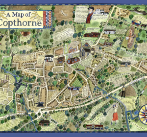
A Map of Copthorne
A map of the Sussex Weald village, Copthorne, commissioned as part of a walking and arts project, ‘About the Place’, by Mid Sussex

A Map of Crawley Down
A map of the Sussex Weald village, Crawley Down, commissioned as part of a walking and arts project, ‘About the Place’, by Mid Sussex
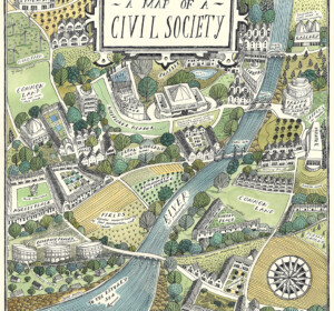
A Map of Civil Society
A map commissioned by Rethinking Civil Society, an academic project based at the University of York in collaboration with the Leverhulme Trust
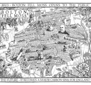
A Map of Bolton Fell Moss
A nine month project in collaboration with the University of Cumbria as an Honorary Research Fellow, National England and the PLACE collective.
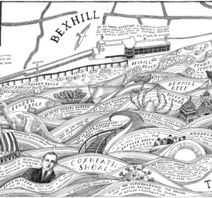
Mural: A Map of the Sea and the De La Warr Pavilion
A commission by the De La Warr Pavilion on the UK South Coast to create a mural of a map reflecting the Pavilion’s relationship with the
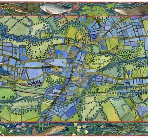
A Map of the Waterways of Oxford
An illustrated map of the waterways of Oxford showing the historic features of the city with borders of local river wildlife. Watercolour,

The Apple World
A map of the history, science and culture of the apple throughout the world, commissioned by the National Trust, the Museum of Cider and the
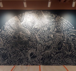
Mural: A Map of the Midsummer Stars above Brighton
I was commissioned to adapt my original ‘Map of the Winter Stars from the Northern Hemisphere’ into a mural by MMoser Associates. The

A Map of Gyptian Waterways in Oxford
I was commissioned by Badwolf to create this map prop of the waterways of Oxford for the BBC/HBO production of ‘His Dark Materials’ .


