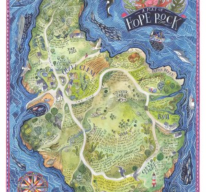
We Dream of Blue Whales – Islandia
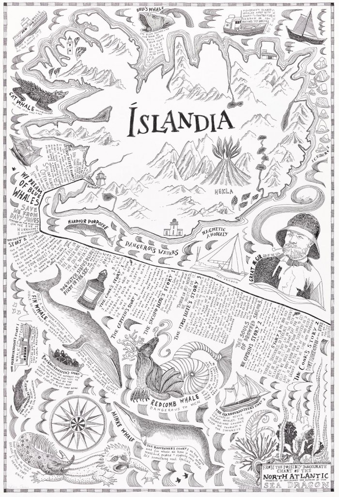
‘Islandia’ is the first part of the triptych, ‘We Dream of Blue Whales’, a map created as the result of a residency sailing across the North Atlantic.
In the summer of 2014, I and three other artists joined the crew of Sea Dragon, a 22 metre steel sailing boat that journeyed 1300 miles across the Atlantic Ocean from Reykjavik in Iceland to Gothenberg in Sweden. Working with marine biologists, scientists, documentary film makers and an old Icelandic sea captain, we spent time on board, not only helping to work the boat but also searching the waters for whales and dolphins.
Journeys are made of stories and every traveller describes the places he has been using stories. This journey is mapped from the yoghurt aisle of a supermarket in Reykjavik, crossing 1300 miles of the North Atlantic swimming with stories of sea monsters, mermaids, pirates, ghost ships, smugglers and rum and ending in a cocktail bar built into the jaws of an ancient preserved blue whale in Gothenberg. Part maritime chart, part logbook, the work became an illustrated artist’s map with a story.
‘The Whale Road’, a joint exhibition with Katie Henery, Stuart Kuhn and Jonathan Hyde was the final destination point for the map. Held at Onca Gallery in March 2015, installation, photography, film, drawing and mapping told a sea saga of elusive whales, hunters and saltwater.
Related projects
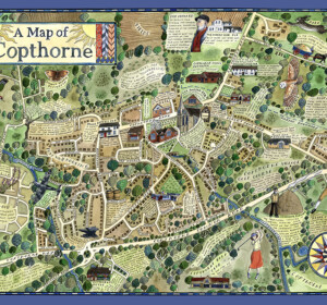
A Map of Copthorne
A map of the Sussex Weald village, Copthorne, commissioned as part of a walking and arts project, ‘About the Place’, by Mid Sussex

A Map of Crawley Down
A map of the Sussex Weald village, Crawley Down, commissioned as part of a walking and arts project, ‘About the Place’, by Mid Sussex
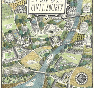
A Map of Civil Society
A map commissioned by Rethinking Civil Society, an academic project based at the University of York in collaboration with the Leverhulme Trust
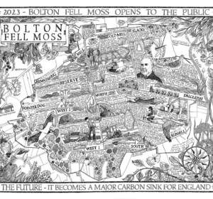
A Map of Bolton Fell Moss
A nine month project in collaboration with the University of Cumbria as an Honorary Research Fellow, National England and the PLACE collective.
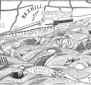
Mural: A Map of the Sea and the De La Warr Pavilion
A commission by the De La Warr Pavilion on the UK South Coast to create a mural of a map reflecting the Pavilion’s relationship with the
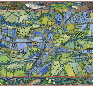
A Map of the Waterways of Oxford
An illustrated map of the waterways of Oxford showing the historic features of the city with borders of local river wildlife. Watercolour,

The Apple World
A map of the history, science and culture of the apple throughout the world, commissioned by the National Trust, the Museum of Cider and the
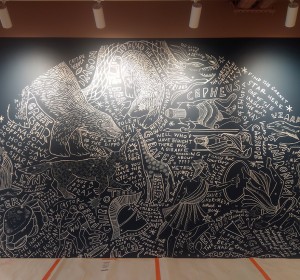
Mural: A Map of the Midsummer Stars above Brighton
I was commissioned to adapt my original ‘Map of the Winter Stars from the Northern Hemisphere’ into a mural by MMoser Associates. The

A Map of Gyptian Waterways in Oxford
I was commissioned by Badwolf to create this map prop of the waterways of Oxford for the BBC/HBO production of ‘His Dark Materials’ .

